Wege zum Brocken - Aufstieg von Schierke
Auf einen Blick
- Start: Schierke, Brockenstraße
- Ziel: Brocken
- mittel
- 5,41 km
- 1 Std. 55 Min.
- 504 m
- 1142 m
- 634 m
- 60 / 100
- 60 / 100
Beste Jahreszeit
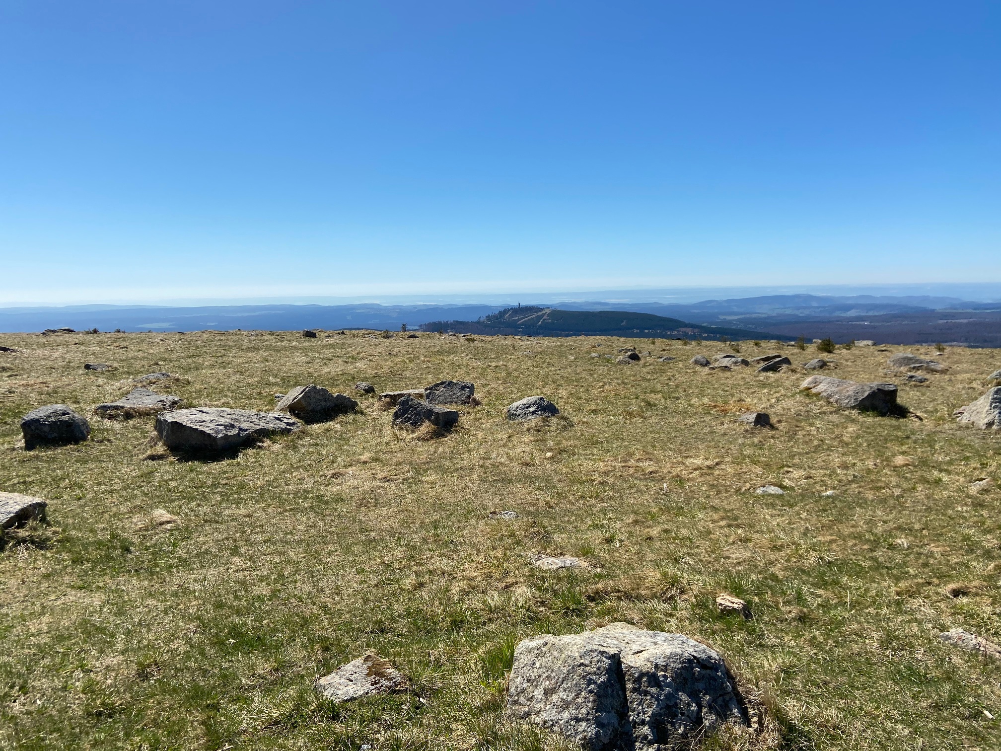
Der kürzeste Aufstieg zum Brocken, geeignet für geübte Wanderer.
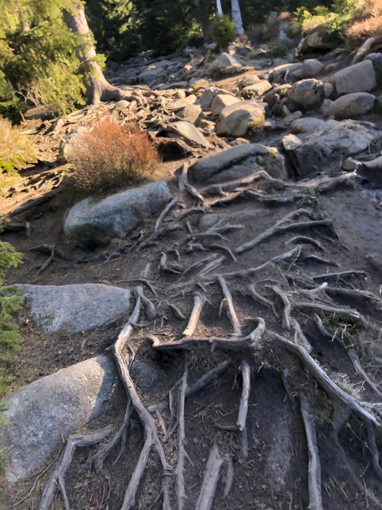
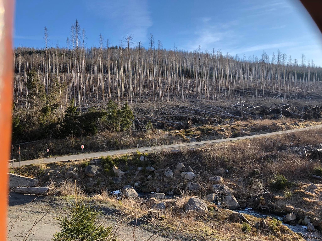
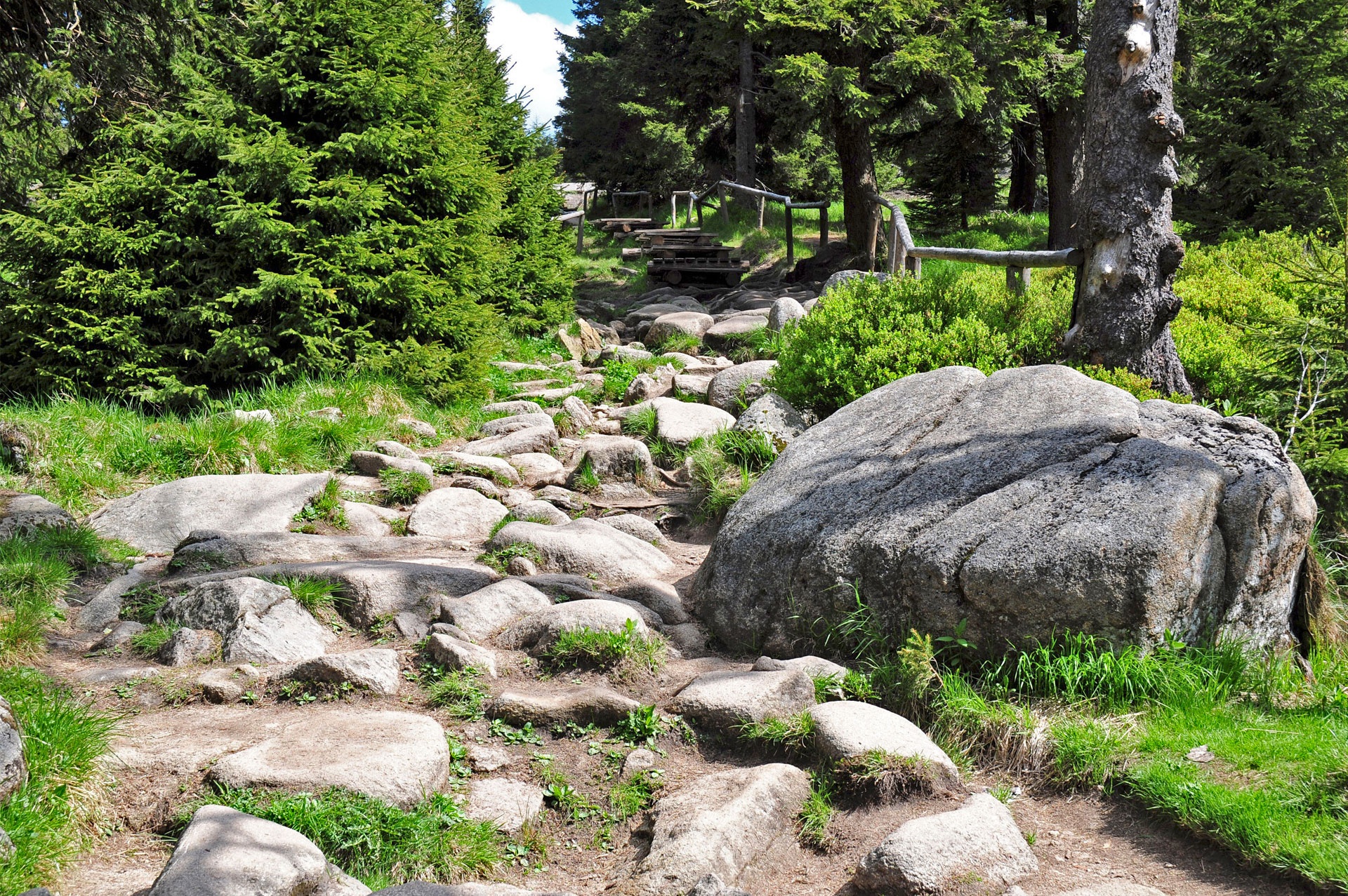
Für geübte und gut ausgerüstete Wanderer empfiehlt sich der reizvolle Aufstieg von Schierke durch das Eckerloch zum Brocken. Der urige Wanderweg beginnt einige Meter hinter dem Nationalparkhaus am Wasserwerk. Mit gutem Schuhwerk ist diese Route über Wurzeln, felsiges Granitgestein und Bohlenstege ein wahrer Genuss. Hier kann man besonders gut den Wald im Wandel erleben. Der Weg führt entlang der Stromschnellen des Schwarzen Schluftwassers bis zum Feuchtgebiet Eckerloch. Der Eckerlochstieg mündet in die Brockenstraße, die den Wanderer dann zum Gipfel führt.


Weitere Informationen
Informationen
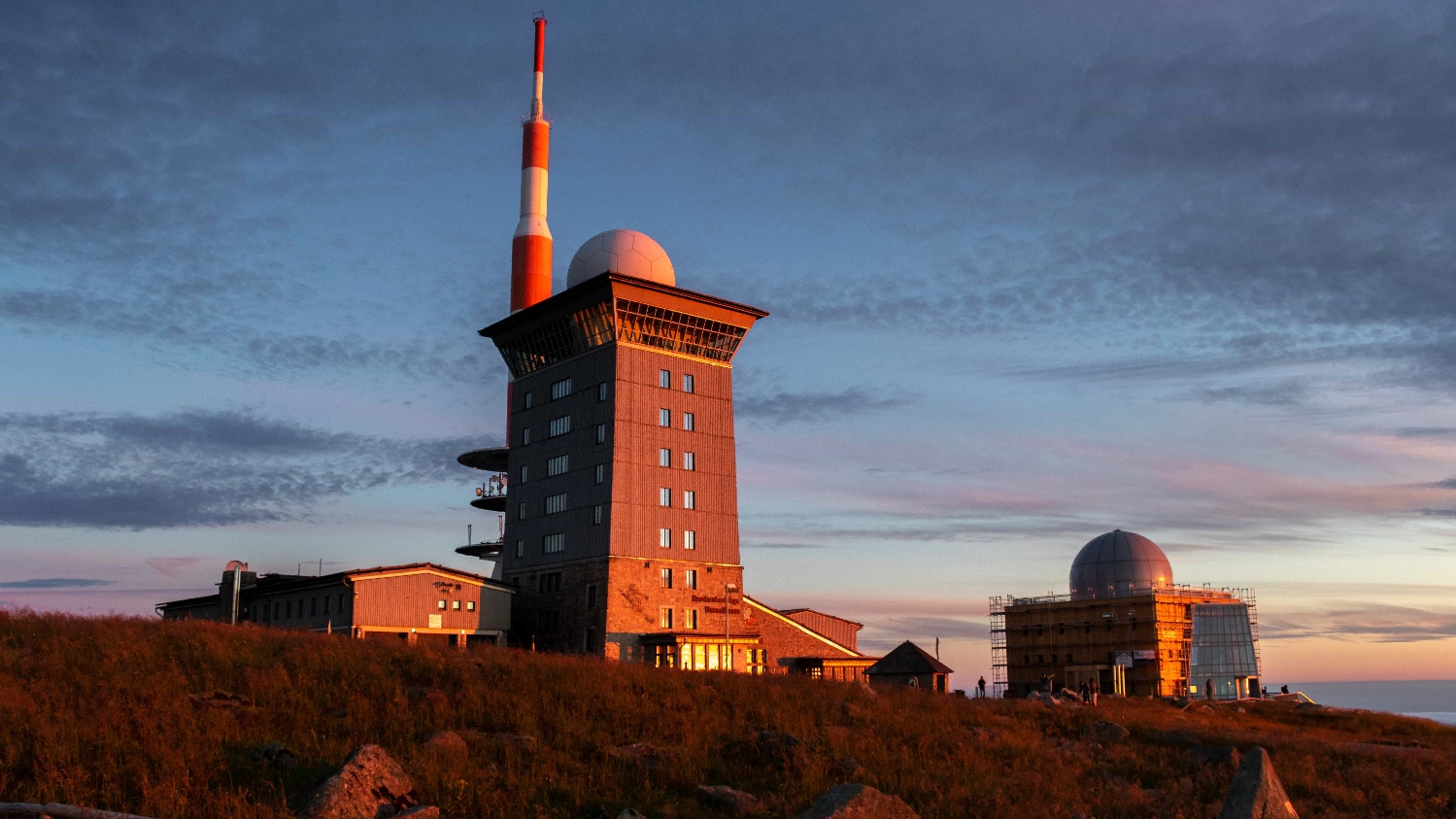
- Gipfel
- Einkehrmöglichkeit
Wegbeschreibung
Schierke, Nationalparkhaus - Eckerlochstieg - Brockenstraße - Brocken
Sicherheitshinweise
Trittsicherheit erforderlich
Ausrüstung
Festes Schuhwerk, wetterangepasste Kleidung.
Anfahrt
Über die B27 bei Elend, weiter über die L99 nach Schierke oder die L100 von Drei Annen Hohne kommend.
Parken
verschiedene Parkmöglichkeiten im Ort wie beispielsweise der kostenpflichtige Brocken Schierke Parkplatz oder das kostenpflichtige Parkhaus "Am Winterbergtor".
Öffentliche Verkehrsmittel
Buslinie 257: Wernigerode - Braunlage (über Elbingerode, Königshütte, Schierke, Mandelholz, Elend)
Vom Brocken: Mit den Harzer Schmalspurbahnen nach Wernigerode, Drei Annen Hohne oder Schierke
Karten
Der Hochharz - Rund um den Brocken (standard) Wander- und Fahrradkarte Maßstab 1 : 30 000, UTM-Gitter für GPS, Höhenlinien in 20m-Schritten, Harzklubwanderwege Format 110 x 200 mm, 990 x 600 mm (offen) Standard-Ausgabe (Landkartenpapier) ISBN 978-3-928977-91-3 Preis: 4,00 €
Weitere Informationen
Tourist-Information Schierke
Telefon:039455 8680
info@schierke-am-brocken.de
www.schierke-am-brocken.de
https://www.harzinfo.de/erlebnisse/wandern/die-wege-zum-brocken