WasserWanderWeg Lautenthaler Kunstgraben


- 3:00 h
- 9.51 km
- 183 m
- 141 m
- 357 m
- 424 m
- 67 m
- Start: Wildemann: parking lot at the lower town exit of L515 towards Lautenthal
- Destination: Lautenthal: Waldkater parking lot on L516 Lautenthal - Hahnenklee
The water channel was constructed as early as the 16th century. It directed water from Wildemann to the Lautenthal mines.
The mines were already quite high up the mountain. Therefore, the water had to come from even higher up. The Lautenthal art channel runs along steep slopes on the mountain.
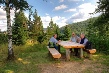
Next to the channel was formerly a service road. Today this road is a beautiful hiking trail. At many points, you have wonderful views over the Innerste valley.
The hiking trail is 9.5 kilometers long. The signs along the path tell you more about the Lautenthal art channel.
Along the way, you can even see different construction sections of the channel and learn how the water was used in the mines.

Good to know
Pavements
Best to visit
Directions
The WasserWanderWeg starts in Wildemann at the mouth of the 13-Lachter tunnel. From here, you follow the Lautenthal art channel through the Innerste valley. The last section goes along the mining educational trail to Lautenthal.
Directions & Parking facilities
Wildemann: parking lot at the lower town exit of L515 towards Lautenthal
Lautenthal: Waldkater parking lot on L516 Lautenthal - Hahnenklee
Additional information
Upper Harz Mining Museum
Bornhardtstr. 16
38678 Clausthal-Zellerfeld
Tel: 05323 98950
info@oberharzerbergwerksmuseum.de
www.oberharzerbergwerksmuseum.de
UNESCO World Heritage Foundation in the Harz
Bergtal 19
38640 Goslar
Tel: 05321 750 114
info@welterbeimharz.de
www.welterbeimharz.de
Literature
Martin Schmidt: WasserWanderWege – A guide through the Upper Harz Water Management System – UNESCO World Heritage, 4th edition, Papierflieger Verlag GmbH, Clausthal-Zellerfeld 2012, ISBN 978-3-86948-200-2 UNESCO World Heritage - Rammelsberg Mine, Old Town Goslar, and Upper Harz Water Management brochure in DIN lang format presenting the related tourist facilities along the Upper Harz Water Management with short texts and photos. On the back are three overview maps showing the World Heritage routes, the tourist destinations, and the overall location of the World Heritage. Price: €2.00 Available at all tourist information offices in the region or online at shop.harzinfo.de.
Author
Lea Dirks
Organization
Harz: Magische Gebirgswelt
License (master data)

Author´s Tip / Recommendation of the author
Along the way, you will pass the Maaßener Gaipel inn. There you can take a break and have something to eat and drink.
Nearby