W3 The Harz Forest Route

- 3:30 h
- 33.36 km
- 549 m
- 549 m
- 248 m
- 658 m
- 410 m
- Start: At the end of the street "Im Ilsetal", 38871 Ilsenburg. Entry to the route also possible at: Am Eichberg 1 / corner Himmelpforte, 3855 Wernigerode
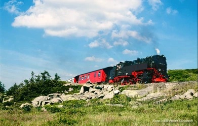
Moderate mountain route on technically easy terrain. Initially, at the Harz edge, there are beautiful views over the northern Harz foreland. After Drei Annen Hohne, there is a longer ascent. Then follow various rocks and cliffs (Hohenstein Cliffs, Otto Rocks, among others), which offer beautiful views of the surroundings. From there, it goes almost entirely downhill back to the starting point.

Good to know
Pavements
Best to visit
Directions & Parking facilities
Additional information
The Volksbank Arena Harz is also available on YouTube.
Author
Volksbank Arena Harz
Organization
Harz: Magische Gebirgswelt
License (master data)
Map
Through the extremely varied North German low mountain range landscape, 74 signposted mountain bike circular routes (total length 2,300 km) lead, classified into three difficulty levels. Official map set "The Harz for mountain bikers." Completely revised and expanded new edition. The new map set consists of a tour book with removable individual descriptions and detailed maps of the routes. There is also a topographic overview map (1:50,000) on weatherproof and durable POLYART material.
ISBN 978-3-935806-28-2
Price €16.80
Publisher map solutions, Karlsruhe 2017
Nearby


Download GPX file