Rehberger Graben to Oderteich

- 1:45 h
- 6.88 km
- 49 m
- 32 m
- 673 m
- 722 m
- 49 m
- Start: Clausthaler Straße / Dreibrode parking lot, 37444 St. Andreasberg
- Destination: Oderteich, OT Sonnenberg, 37444 St. Andreasberg
The winter hiking trail starts on the opposite side of the Dreibrode parking lot.
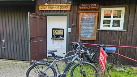
From there you quickly reach a junction where the water of the Rehberger Graben meets that of the Sonnenberger Graben. You continue along the Rehberger Graben to the national park forest restaurant "Rehberger Grabenhaus." On certain days and times you can watch the feeding of the red deer here. In addition, a small exhibition provides more information about the "Upper Harz Water Management System."
Your hike then leads you further through an upland forest. At some points, charming views down into the Oder valley or to the Hahnenklee cliffs await you. Numerous information boards explain the history of the ditch system, which has been designated a UNESCO World Heritage Site.
You continue hiking along the Rehberger Graben to Goetheplatz, where you can see beautiful granite formations. After passing small waterfalls and the Sarghai hut, you reach your destination, the Oderteich. The Oderteich was built from 1715 to 1722 and is the oldest reservoir in the Harz and also part of the UNESCO World Heritage "Upper Harz Water Management System."

Good to know
Best to visit
Additional information
Tourist Information Sankt Andreasberg
Am Kurpark 9
37444 St. Andreasberg
Tel. 05582 803-3
www.sanktandreasberg.de
tourist-info@sanktandreasberg.de
Author
Harzer Tourismusverband
Organization
Harz: Magische Gebirgswelt
License (master data)

Map
The Harz "Winter Sports Map - weatherproof" Scale 1 : 50,000 Official map of the Harz Cross-Country Ski Network Topographic map with contour lines under a transparent forest representation and elevation lines, UTM grid, trails, ski paths as well as cleared winter hiking trails, downhill runs, sledding runs and much more. Practical leporello fold Price: €6.80 in the shop at shop.harzinfo.de
Nearby