Hiking trail Hohegeiß-Bechlerstein-Wolfsbach valley-Zorge


- 2:05 h
- 7.77 km
- 34 m
- 298 m
- 346 m
- 611 m
- 265 m
- Start: Parking lot at the northern outskirts of Hohegeiß
- Destination: Zorge - Wolfsbach valley bus stop
Start at the eastern edge of the parking lot at the town exit towards Braunlage on the small pedestrian alley about 300 m northwards, cross the B4, continue to Bechlerstein, then turn left onto Wolfsbachstraße, about 7 km downhill until about 500 m before the northern town entrance of Zorge. From there, you can return by regular bus (timetables at www.vsninfo.de) or hike back the same route uphill to Hohegeiß.
The Wolfsbach valley is a nature reserve and about 500 m below the guesthouse "Wolfsbachmühle" you have a view of the nature reserve "Dicke Tannen".

Good to know
Pavements
Best to visit
Directions & Parking facilities
Parking lot at the northern outskirts of Hohegeiß
Additional information
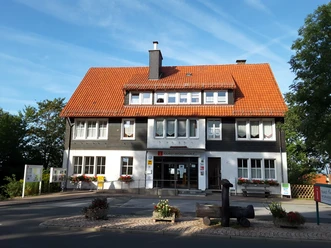
Tourist Information Hohegeiß
Kirchstraße 15 a
38700 Braunlage-Hohegeiß
Tel. 05583 241
tourist-info@hohegeiss.de
www.braunlage.de
Author
Harzer Tourismusverband
Organization
Harz: Magische Gebirgswelt
License (master data)

Nearby