Great West Harz Route

- 8:50 h
- 159.53 km
- 2,215 m
- 2,216 m
- 202 m
- 826 m
- 624 m
- Start: Goslar - Kaiserpfalz car park (Kaiserbleek)
- Destination: Goslar - Kaiserpfalz car park (Kaiserbleek)
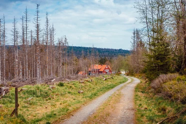
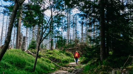
Goslar -> Oker -> Oker Reservoir (Riverside Path) -> Torfhaus -> Braunlage -> Wieda -> Bad Sachsa -> Steina -> Bad Lauterberg -> Sieber -> Herzberg -> Osterode -> Lerbach -> Clausthal-Zellerfeld -> Bockswiese -> Lautenthal -> Wolfshagen -> Langelsheim -> Astfeld -> Goslar

Good to know
Best to visit
Directions
At the shooting house, we turn right and follow the road, which becomes a paved forest path at the edge of the forest. In Oker, just before the mineral water factory, the forest path merges onto the B498. We turn right and cycle through the Oker Valley to the Oker reservoir. Upon reaching the reservoir, we cross over the dam and follow the paved shoreline path around the reservoir. In the third side arm, we bear slightly right into the so-called "Kalbet valley." The following climb is very irregular and includes several unpleasant ramps with gradients of 10-16% until we reach the B4. There, we turn right and have to conquer another 10% gradient climb up to Torfhaus. Upon arriving at Torfhaus, we follow the relatively busy but wide B4 to Braunlage. We follow the main street to the roundabout just beyond the town exit. We cross the roundabout (second exit) and follow the signposting to Wieda and further towards Walkenried. Shortly before Walkenried, we turn right to Bad Sachsa. Now we ascend the Ravensberg, which, with two ramps at approx. 20%, is the second hardest mountain in the Harz. It is a dead end street, signposted from the roundabout at the municipal savings bank in the center of Bad Sachsa. After the descent, just follow the signs to Steina and Bad Lauterberg. Arriving in Bad Lauterberg, we follow the main street to the right on the B27 and shortly afterwards turn left towards St. Andreasberg. At an inconspicuous junction shortly before St. Andreasberg, we turn left to Sieber. With an average gradient of 5.4%, the route climbs about 1 km up to Sieberberg, then descends through the Sieber valley to Herzberg. In Herzberg, we follow the signs to Osterode. At the roundabout in the center of Osterode, we follow the road to the right (first exit) through Freiheit, a short distance along the B241, then right onto the turnoff to Lerbach. From Lerbach, the route climbs with an average 4% gradient on a quiet, winding road. The last kilometers must be covered on the less pleasant B241 to Clausthal-Zellerfeld. Through Clausthal-Zellerfeld, we cycle towards Hahnenklee-Bockswiese. Following the main street in Bockswiese, we arrive at Lautenthal. Here we follow the signs right towards Langelsheim, taking the right turnoff to Wolfhagen a few kilometers later. After one final short 13% ramp over the Schäder, we reach Langelsheim via Wolfshagen. Here we follow the signs right via Astfeld towards Goslar. From Astfeld, the cycle path must be used as we run parallel to the B82 highway. Upon arriving in Goslar, follow the signs "Old Town" / "Kaiserpfalz" back to the car park.
Additional information
Organization
Harz: Magische Gebirgswelt
License (master data)
Safety guidelines
Nearby


Download GPX file