B5 Ebersberg Circuit


- 1:30 h
- 18.55 km
- 478 m
- 478 m
- 409 m
- 679 m
- 270 m
- Start: Volksbank, Lange Straße 26, 38700 Hohegeiß
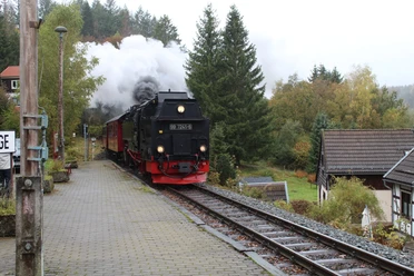
The mountain and valley route leads you east of Hohegeiß to the impressive natural monument Dicke Tannen, where on good weather days many hikers collecting stamps are often out and about. Then it continues to the New Pond and the Zorger Waterfall. With a longer ascent, you first ride to the Rear and then around the Front Ebersberg, all on a wonderful trail.
Recommended from age 12
Refreshments available in the village
HOHEGEIß
has even more to offer for families!
Minigolf
Forest Swimming Pool
Borderless hike through three federal states

Good to know
Pavements
Best to visit
Additional information
Author
Volksbank Arena Harz
Organization
Harz: Magische Gebirgswelt
License (master data)
Map
Through the extremely varied North German Central Upland landscape, there are 74 signposted mountain bike circular routes (total length 2,300 km), which are classified into three difficulty levels. Official map set "The Harz for Mountain Bikers." Completely revised and expanded new edition. The new map set consists of a tour book with detachable individual descriptions and detailed maps of the routes. In addition, there is a topographic overview map (1:50,000) printed on weatherproof and durable POLYART material.
ISBN 978-3-935806-28-2
Price €16.80
Publisher map solutions, Karlsruhe 2017
Nearby


Download GPX file