B1 Altitude Fever


- 3:00 h
- 25.78 km
- 663 m
- 663 m
- 471 m
- 878 m
- 407 m
- Start: At Amtsweg / Parking lot, 38700 Braunlage
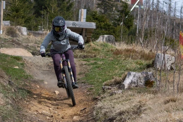
The route passes the two highest peaks in the West Harz. Therefore, short detours to Wurmberg and Achtermannshöhe (on foot), and the Hahnenklee rock with its impressive view over the deep Oder valley are worthwhile. Short trail sections have no technical riding difficulty.

Good to know
Pavements
Best to visit
Additional information
The Volksbank Arena Harz is also available on YouTube.
Author
Volksbank Arena Harz
Organization
Harz: Magische Gebirgswelt
License (master data)
Map
Through the extremely varied North German low mountain landscape, there are 74 signposted mountain bike circular routes (total length 2,300 km), classified into three levels of difficulty. Official map set "The Harz for Mountain Bikers." Completely revised and expanded new edition. The new map set consists of a tour book with detachable individual descriptions and detailed maps of the routes. Additionally, there is a topographic overview map (1:50,000) printed on weatherproof and durable POLYART material.
ISBN 978-3-935806-28-2
Price €16.80
Publisher map solutions, Karlsruhe 2017
Nearby


Download GPX file