Winter hiking trail around Ebersberg - Hohegeiß

- 2:32 h
- 9.16 km
- 101 m
- 101 m
- 580 m
- 640 m
- 60 m
- Start: Parking lot at Bechlerstein
The path has only a few slight inclines over the entire route and is otherwise flat or slightly downhill. The route length is approximately 10 km.
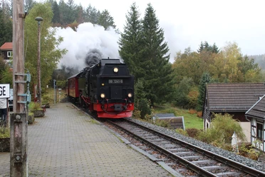
At Bechlerstein (a memorial stone for a rentmaster who froze to death in a snowstorm), turn south onto Wolfsbachstraße. After about 1 km, turn right at a charcoal burner’s hut onto the Horizontalweg. At the Nullpunkt (a topographical survey point), turn right again onto Ebersbergstraße heading east. In winter, you "share" Ebersbergstraße with cross-country skiers: one half is track-set – please do not enter, the other half is packed for hikers. Along this route, you have some beautiful views of some of the highest mountains in the Harz: Achtermannshöhe, Wurmberg, Brocken, Hohneklippen (from west to east). After about 3 km, you return to Bechlerstein.

Good to know
Best to visit
Additional information
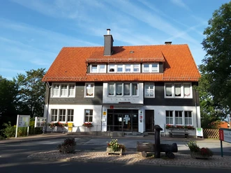
Tourist Information Hohegeiß
Kirchstraße 15 a
38700 Braunlage-Hohegeiß
Tel. 05583 241
tourist-info@hohegeiss.de
www.hohegeiss.de
Author
Harzer Tourismusverband
Organization
Harz: Magische Gebirgswelt
License (master data)

Nearby


Download GPX file