G3 summit route to Schalke

- 3:00 h
- 27.94 km
- 663 m
- 663 m
- 260 m
- 757 m
- 497 m
- Start: Goslar Station, Klubgartenstraße, 38640 Goslar. Entry to the route also possible: Information board parking lot at the Stave Church, Prof. Mohrmann-Weg 1, 38644 Hahnenklee
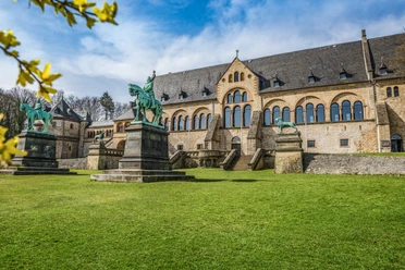
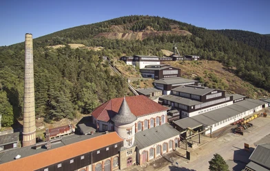
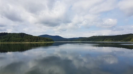
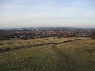
The mountain route leads past the Rammelsberg into the deciduous and mixed forests of the northern Harz. From there it continues on a long and sometimes steep climb to Schalke, where several beautiful viewpoints can be found. On the way back, it passes the Bocksberg and Hahnenklee to the Granestausee via some good trail descents. Finally, from Steinberg you have another beautiful view of Goslar.

Good to know
Pavements
- Asphalt (21%)Street (1%)Gravel (70%)Trail (8%)
Best to visit
- suitableDepends on weather
Directions & Parking facilities
- Public transportationThe train station near the historic old town is the starting point for the five MTB routes G1 to G5.
Additional information
The Volksbank Arena Harz is also available on YouTube.
Organization
Harz: Magische Gebirgswelt
License (master data)
Map
The Harz for Mountain Bikers
Through the highly varied North German low mountain range landscape run 74 signposted mountain bike circular routes (total length 2,300 km), which are classified into three levels of difficulty. Official map set “The Harz for Mountain Bikers”. Completely revised and expanded new edition. The new map set consists of a route book with detachable individual descriptions and detailed maps of the routes. In addition, there is a topographic overview map (1:50,000) printed on weatherproof and durable POLYART material.
ISBN 978-3-935806-28-2
Price €16.80
Publisher map solutions, Karlsruhe 2017
Nearby
Download GPX file