Braunlage trail - 5 and 10 km

- 2:40 h
- 10.96 km
- 190 m
- 191 m
- 602 m
- 746 m
- 144 m
- Start: The entry to this trail is located above von-Langen-Straße (weather station)
- Destination: von-Langen-Straße (weather station)
The trails have a total elevation gain of 265 m. The route runs largely within the Harz National Park, in the area of Kaiserweg, Oberer Brunnenbach, and Königskrug. A connecting trail from the school hostel on Alten Harzburger Straße links to the Achtermann and the Rote-Bruch trails, which lead to Oderbrück and Torfhaus. At the Dreieckiger Pfahl, there is the possibility to switch to the Schierke trail network.
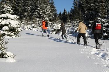
The Braunlage trail is usable both classic style and as a skating trail.
The route has been changed for the 2025 winter season due to deadwood and wet areas.

Good to know
Best to visit
Additional information
Tourist Information Braunlage
Elbingeröder Straße 17
38700 Braunlage
Phone: 05520 93070
www.braunlage.de
Author
Harzer Tourismusverband
Organization
Harz: Magische Gebirgswelt
License (master data)

Nearby


Download GPX file