- 3:05 h
- 10.95 km
- 223 m
- 223 m
- 256 m
- 479 m
- 223 m
- Start: Michaelstein Monastery
- Destination: Michaelstein Monastery
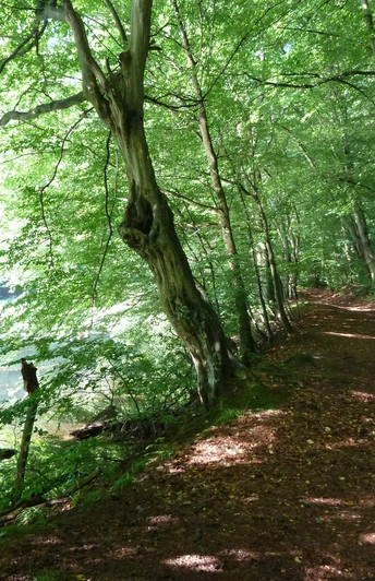
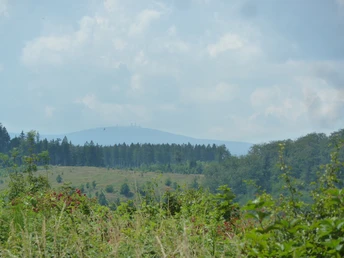
The circular route combines natural and historical highlights. The starting point of the hike is the Michaelstein Monastery, founded in 1146. Past beautiful ponds, floodplain forests, and limestone rocks, the circular path leads into the extensive beech forests south of Blankenburg. The path reaches a karst spring. Here, at the Volkmarskeller, a cave invites exploration. Along the further path, there are beautiful views all the way to the Brocken. Where thick forests once stood, storms and bark beetles have created open views. Here, the “primeval forest” of tomorrow is forming. The path returns to the starting point through hall forests of red beech.
Good to know
Pavements
Best to visit
Directions
The starting point of the hike is the Michaelstein Monastery near Blankenburg. From the car park, the signage already points the way to the Volkmarskeller. On the German Emperors and Kings Trail (trail marker stylized golden imperial crown on a red background), the circular hike initially goes uphill, past the monastery ponds. A parallel path runs directly alongside the ponds. At the end of the pond cascade, this path crosses a bridge. You then go a short distance against the previous direction to return to the German Emperors and Kings Trail. Sharp left, it is just under 3 km to the Volkmarskeller. The Emperor's Trail passes a memorial stone for the miners who died in the Volkmar pit. Past the Ibenklippen, it reaches the Volkmarskeller. From here, the path with the crown symbol continues southwest to the Eggeröder spring. Here, the Dukes' Trail branches off, which the circular hike follows for a while. At the Bastweg junction, the route leaves the Dukes' Trail. The Bastweg crosses an area that was once densely forested. Via the Entenpfuhl junction, the circular route now descends into the monastery valley. It finally returns to the Michaelstein Monastery.
Directions & Parking facilities
Via B6 (exit Blankenburg center), B27, or B81 to Blankenburg, then continue towards Michaelstein Monastery.
There are free parking spaces at the Michaelstein Monastery.
Regular bus services operate from Blankenburg or Wernigerode train stations to the Michaelstein Monastery.
Additional information
Tourist Information Blankenbug
Schnappelberg 6
38889 Blankenburg (Harz)
Tel: 03944 362260
touristinfo@blankenburg.de
www.blankenburg.de
Literature
Author
Regionalverband Harz e. V.
Organization
Harz: Magische Gebirgswelt
License (master data)
Author´s Tip / Recommendation of the author
The hotel & fish restaurant is idyllically located in the monastery valley near Blankenburg. Freshly caught fish from the adjoining fish ponds and other Harz specialties are offered here: www.klosterfischer.de.
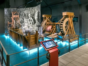
A visit to the Michaelstein Monastery is also worthwhile: www.kloster-michaelstein.de.
Map
The NATURA Tip 2 contains a detailed hiking map.
Nearby


